Social Distancing in Kofu III - Fukakusa Kannon
Hiking obviously conflicts with staying at home. I guess I’m recommending it because I encountered very few others while hiking this route. Hiking also doesn’t fit in with this website’s goal of introducing fun, urban-themed elements of Kofu. I’m going to try to work around that by saying this post connects to Takeda Shingen and includes one of Kofu’s contributions to the 100 Famous Mountains of Yamanashi, Yougai-san 要害山. (By the way, according to my information, the mountain has the lowest physical(1) and technical(A) rankings.) Additionally, the gradual ascent that ends with Yougai-san’s peak starts with Takeda Street, at the north exit of Kofu Station.
You’ll need a car for this hike. It’s over 5 kilometers, uphill, from Kofu Station to the trail entrance. You could take a bus all the way up to Sekisuiji bus stop but buses are few and far between. There are more buses that go up to Takeda Shrine but you’d still have quite a walk (about 3 kms.)
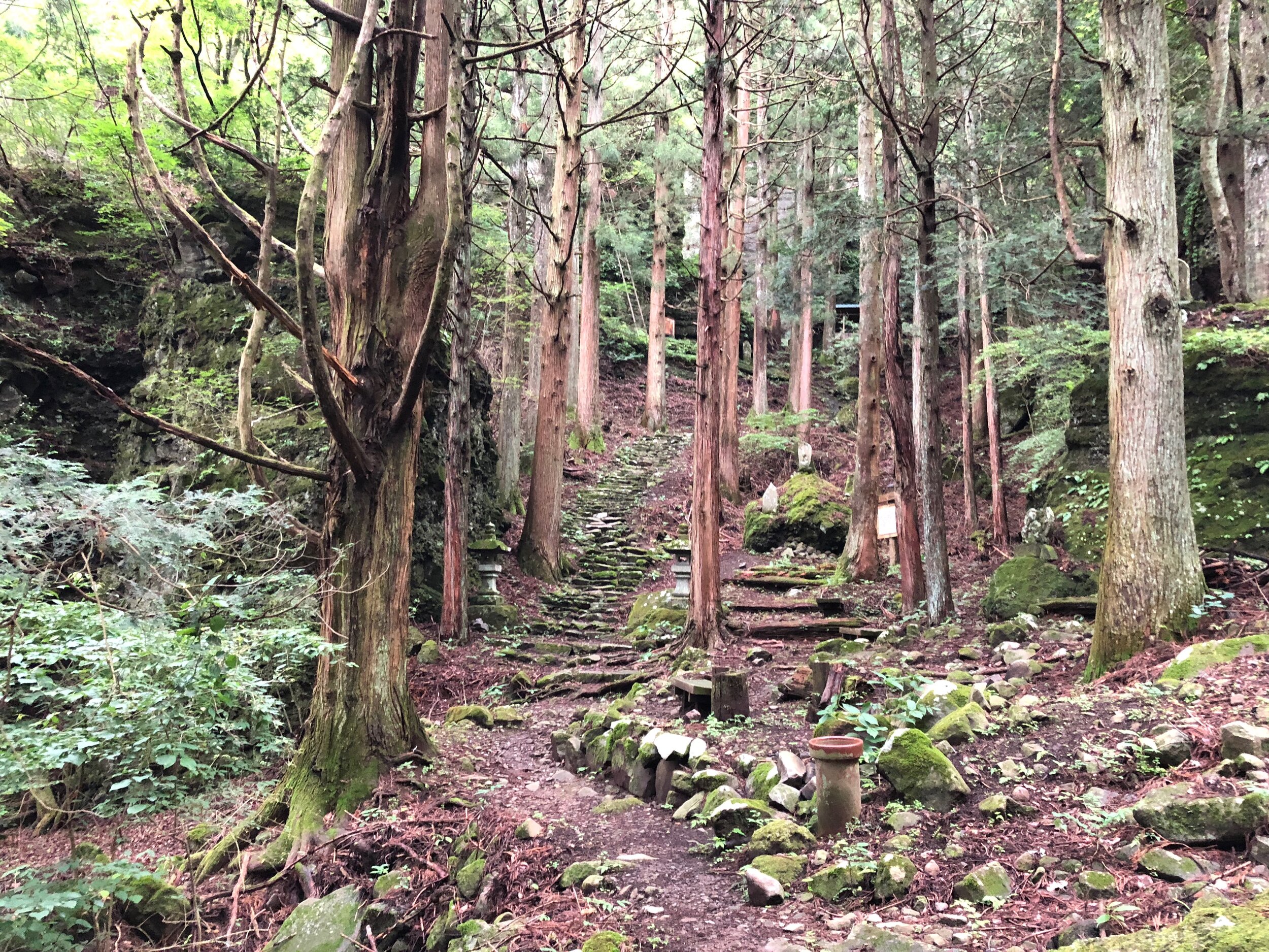
Drive up Takeda Street. At Takeda Shrine, turn left onto Route 31, and bear right to stay on 31 and head up the mountain. The road will twist a bit to account for the increasing slope of the mountain. Not long after passing Sekisuiji (Sekijui Temple) you’ll come to the entrance for Yogai Onsen. Just past the entrance, there’s a parking area on the right of 31. Once you’ve got your gear together, you can use the onsen entrance to access the hiking course. As of this writing, the onsen is closed. The first leg of the hike is a few minutes through the woods. It’s not too tough and is usually pretty cool.

In between the parking area and the trail entrance

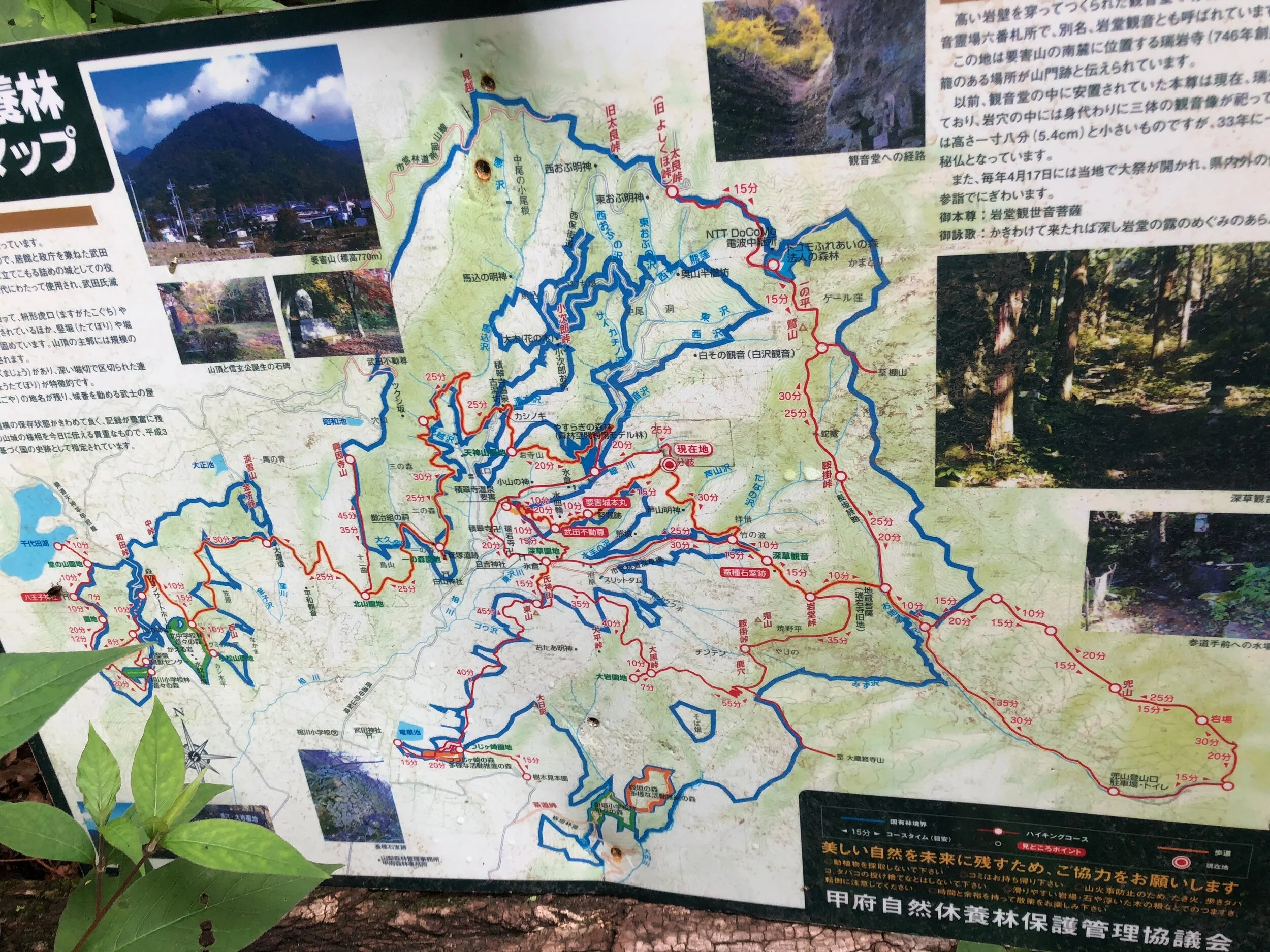
Very simple map of today’s hike
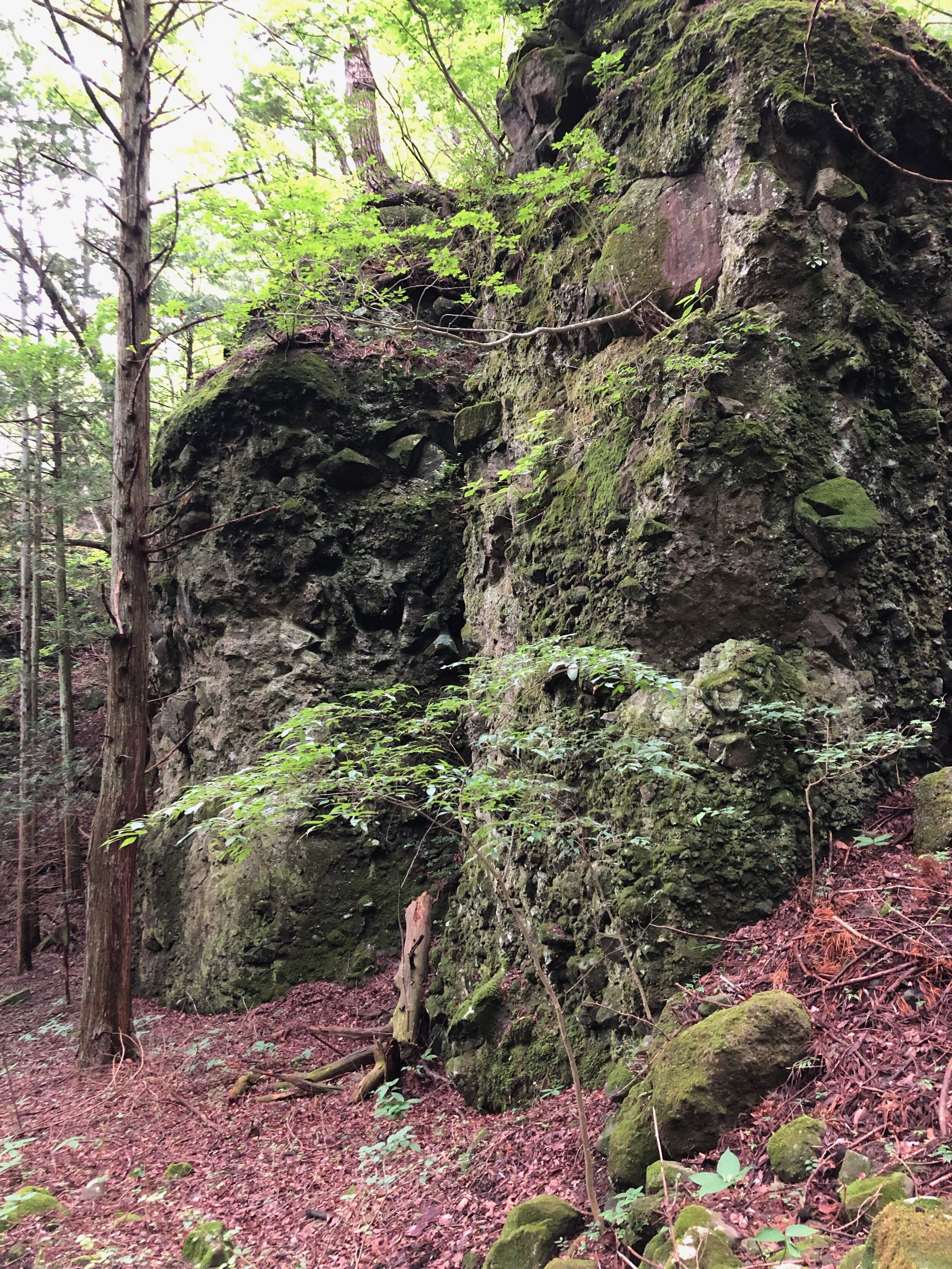
At the end of the first leg, there’s a T. Signs for Takeda Shrine point to the right, though I’ve yet to explore this way. Instead, go to the left, break out of the woods, and start up the trail. You’ll occasionally get some city views and you’ll be able to look down on Route 31. I think this is the most tiring part of the hike. Also, due to the grassy overgrowth, you can get pretty wet if it has rained recently. Along the way you can take break at 武田不動尊 Takeda Fudouson - the “immoveable” protector. Throughout this leg and the next you’ll often see remnants of an old building (castle?).

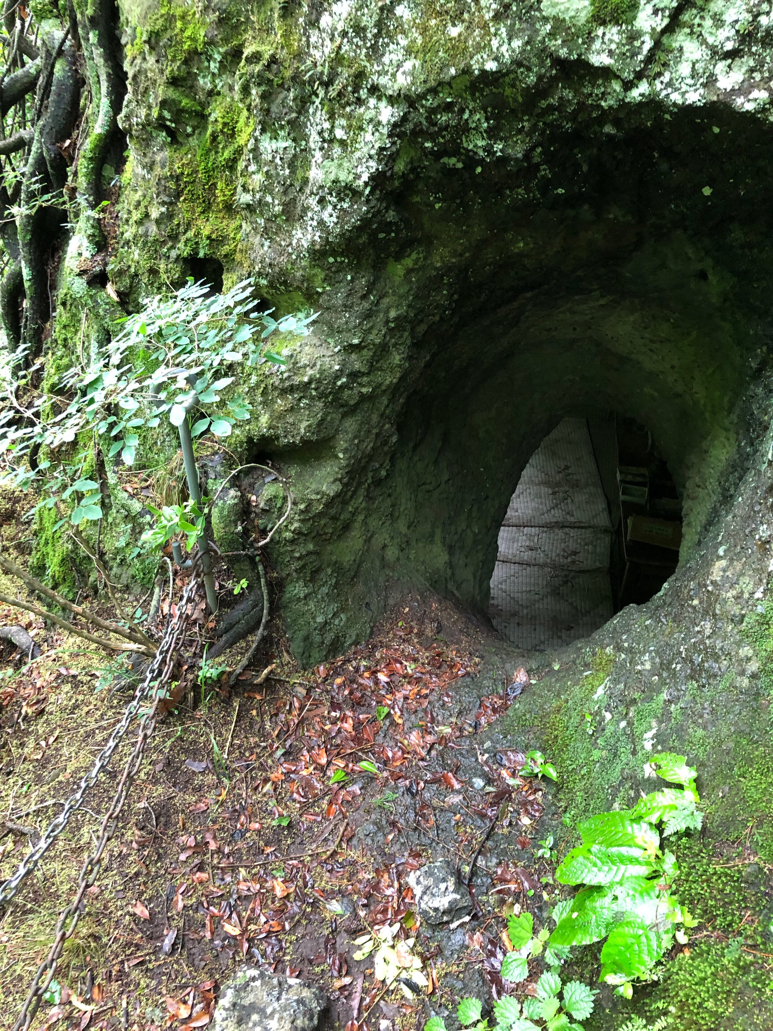
武田不動尊 Takeda Fudouson
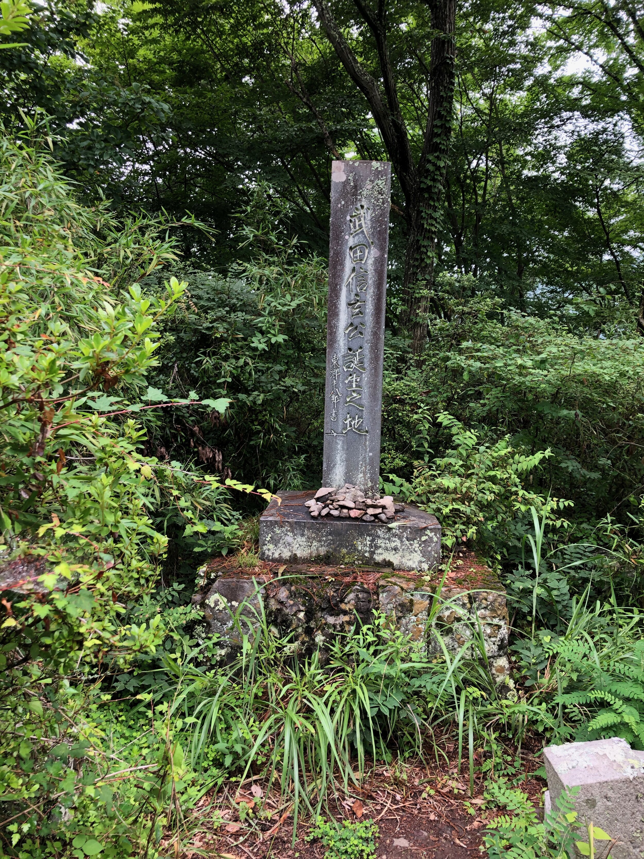
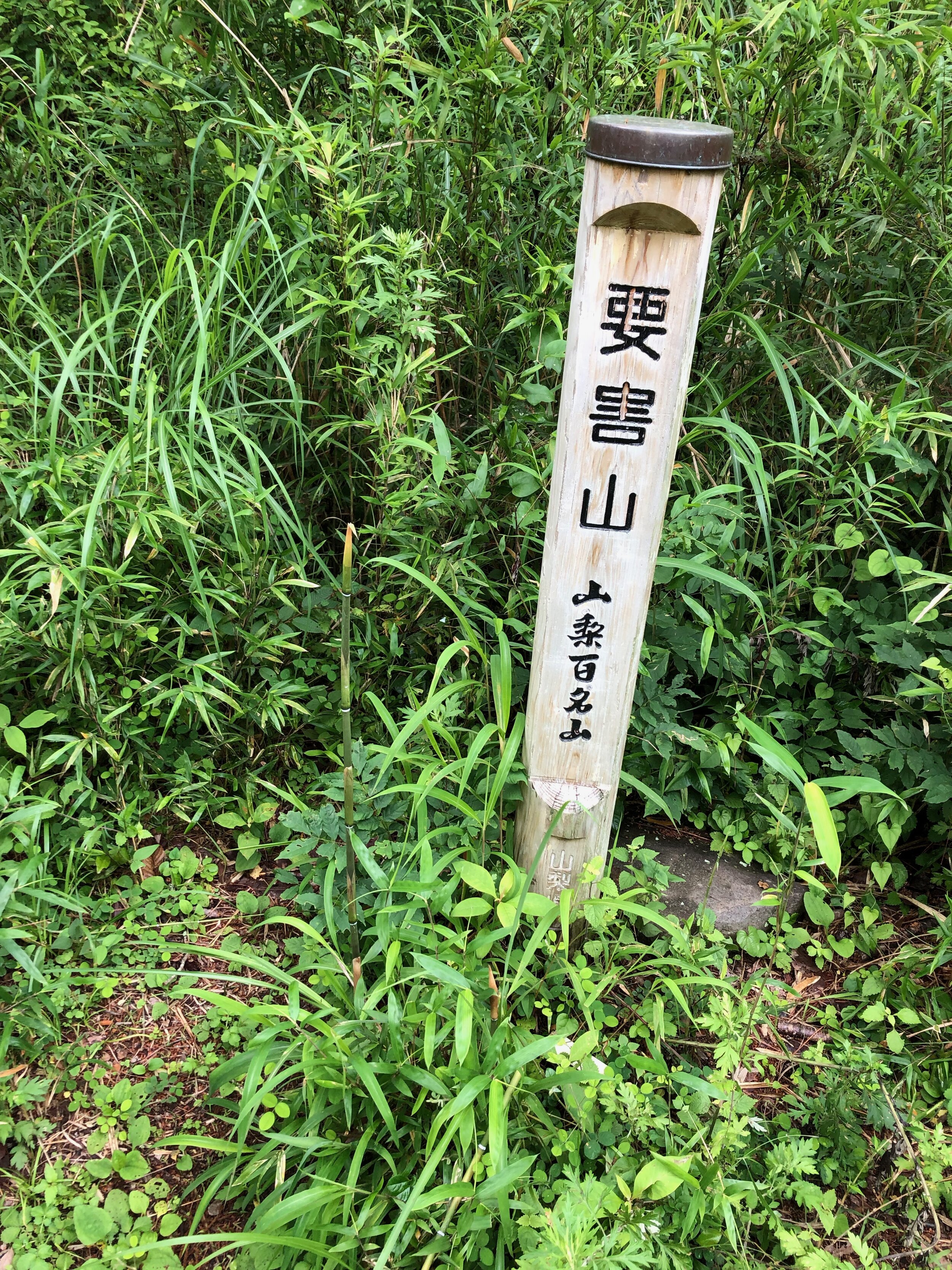
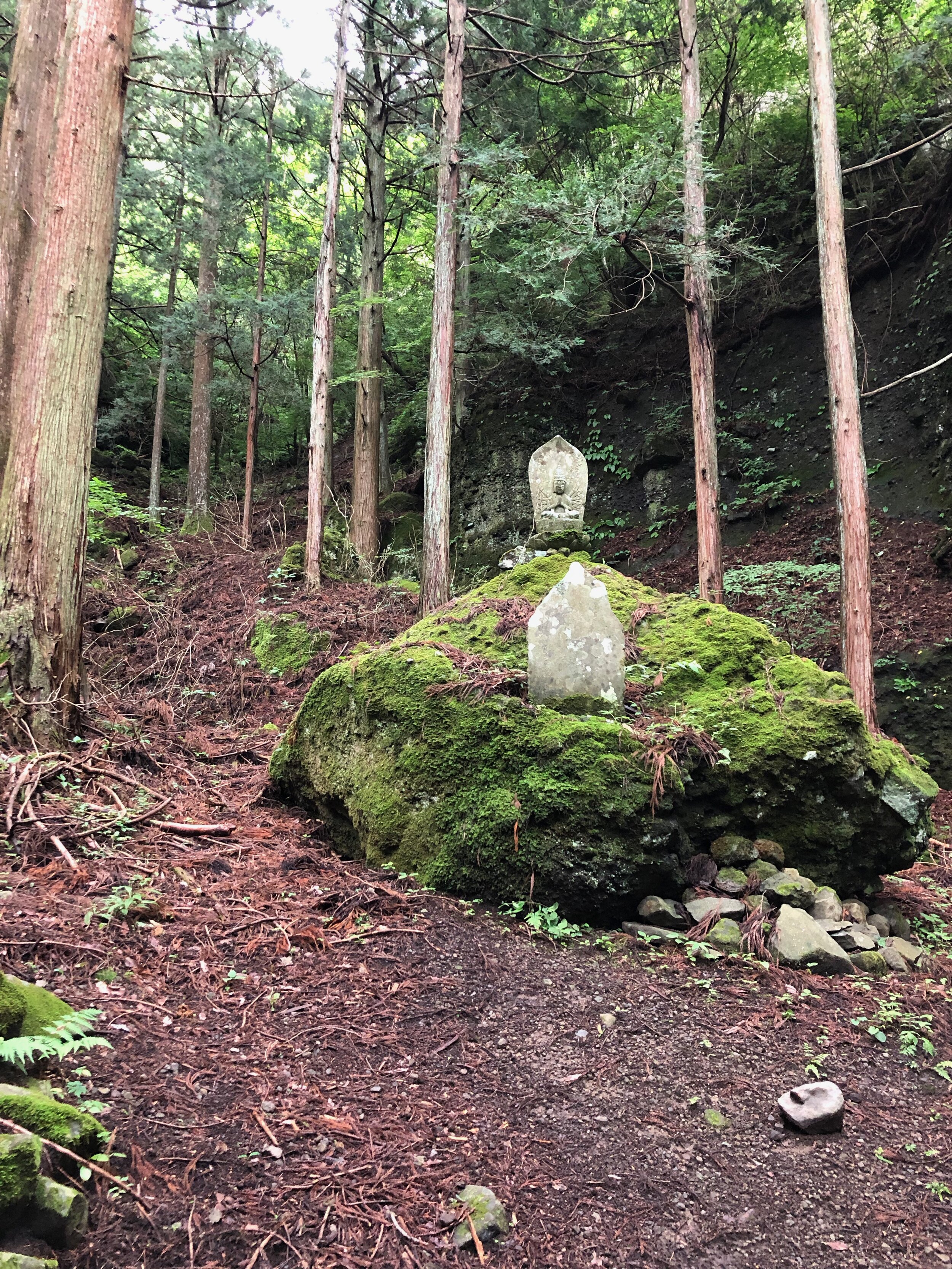
Continuing uphill, you’ll come upon a plateau, ending the second leg of hiking. Hidden in the tall grass up here is a stone marker for the birthplace of Takeda Shingen. It is said that his mother hid in the mountains when it was time for her to give birth. You can also find a wooden marker for the peak of Yougai-san. If you have a mountain checklist or booklet you can check off Yougai-san now. I got my booklet for free at the info counter at the south exit of Kofu Station.

Now, when I’ve seen others hiking in this area, they always turn back here. I’ve also read a negative google maps review of Yougai-san by someone who turned back. I think they’re missing the best reason to hike here - the Fukakusa Kannon 深草観音. Keep hiking and eventually you’ll come to a fork. There are a few side paths along the way but you’ll recognize this fork because it has a map posted. The fork is marked 分岐 (divergence). Go right at the fork.
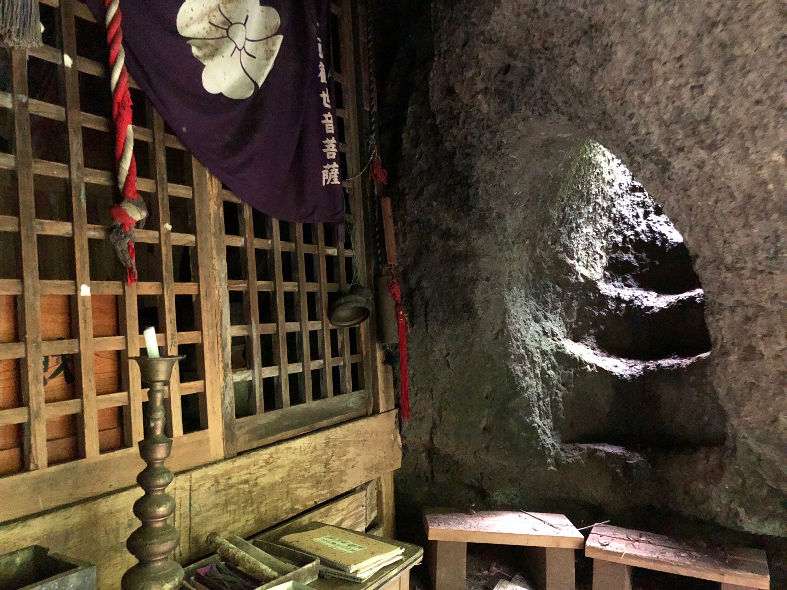
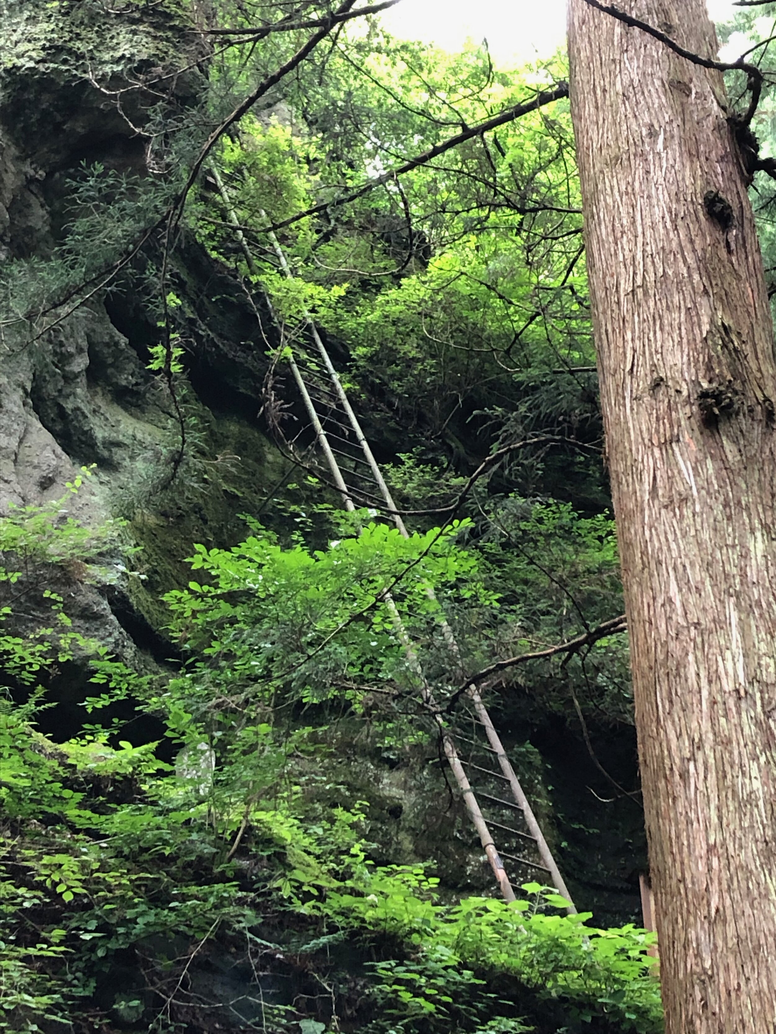
Be careful here - if it rained recently it may be slippery. The path will start to head down into the forest. This leg is much more pleasant than the second. After about 45 minutes you’ll be approaching Fukakusa Kannon. This part is a little tiring because you’ll be walking uphill on stones rather than a forest path. On your approach you’ll encounter 手水 (temizu), the water for washing your hands and mouth before entering a sacred place. If you’ve been to the Meiji Shrine, I’m sure you’ve seen people performing this purification ritual. By all means, be reverent. Be careful and respectful. But this is standing water in the middle of a forest. I got, no kidding, leeches on my hands while using the temizu. Very small, but creepy nonetheless.
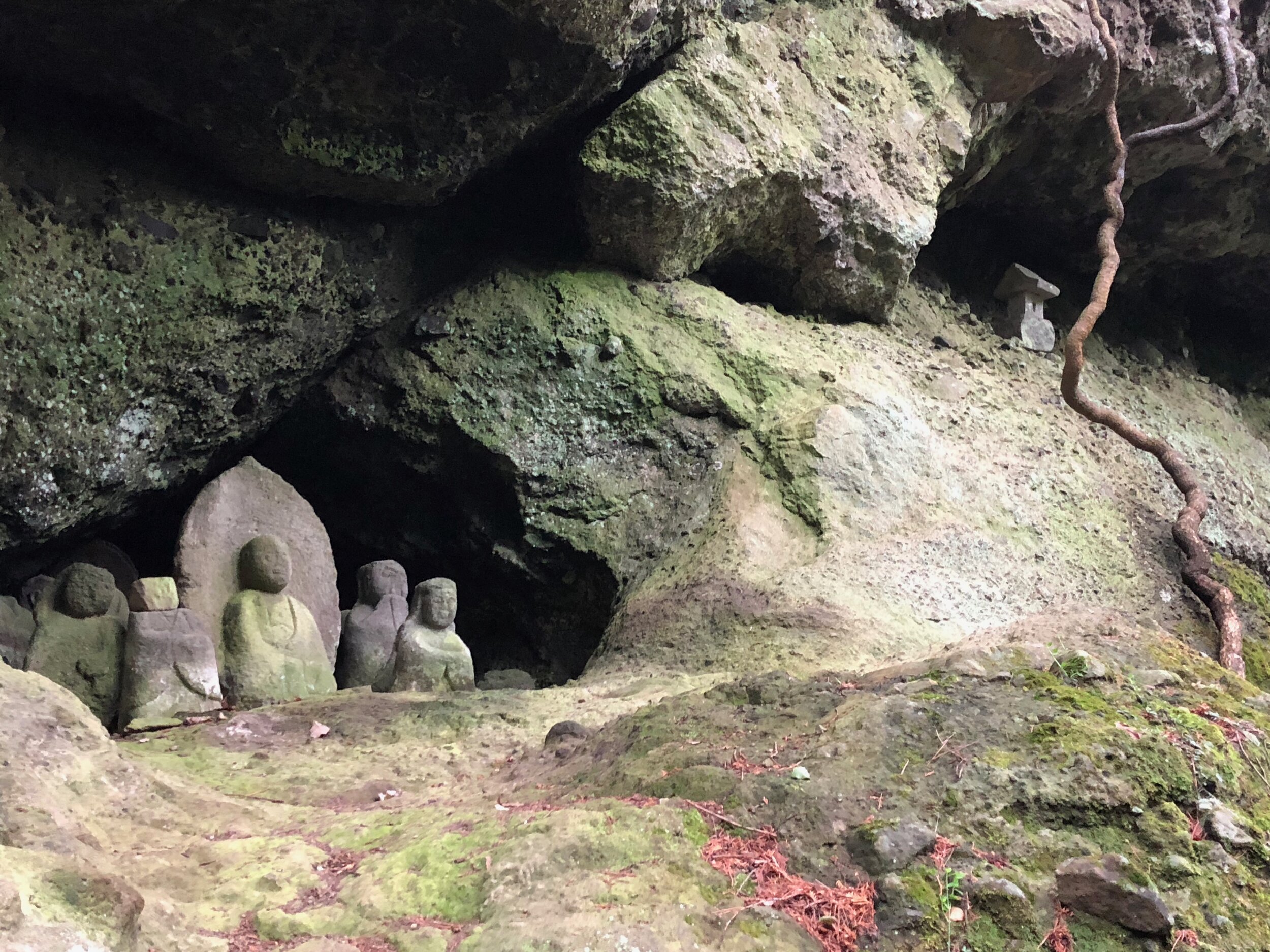
As for the Fukakusa Kannon, I can’t articulate the feeling of being there. I felt very reluctant to leave. It was a singular feeling that I knew I’d have trouble recalling afterwards. I have a few photos to show what a cool place it is but you can probably see better photos on google maps.
To continue past Fukakusa Kannon is likely too much for a day trip. So it’s back the way you came. However, once you reach the 分岐 fork, instead of going left (back to the Yougai-san marker), you can go right. This path makes a pleasant, gradual descent, coming out on Route 31 not too far up the hill from the parking area. As well as adding some variety to the end of the hike, I also think it’s a bit easier if you’re feeling worn out.
In addition to being careful about the time of day, telling someone where you’re going, hiking with companions, respecting the surroundings, bring food and water, just using common sense, I want to make some other suggestions -
Boots. Personally, I don’t think sneakers will cut it. Bring some stalks/hiking poles. They’re not so important for the incline but, especially during the second, grassy leg, stalks are good for pushing away overgrowth and the many, many spiderwebs that pop up. Finally, not to get too panicky, but there are signs to watch out for bears, so bring a bear bell or two.